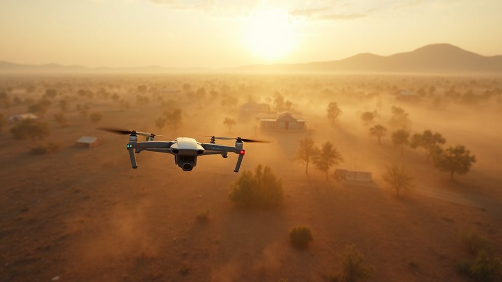
Purandar Airport is moving forward with its important development, and officials have shared that a big drone survey will start on April 9, 2025. This survey will cover a large area of 2,832 hectares, which is spread over seven villages. The drones will be used to create detailed maps of the land, helping the authorities get accurate information about the land needed for the airport.
The survey is a big step for the project, as it will help officials understand property boundaries and current buildings on the land. Varsha Landge will supervise the land acquisition process, following the Maharashtra Industrial Development Act, 1961, and ensuring that farmers get fair compensation according to the Land Acquisition Act, 2013.
District Collector Jitendra Dudi has set a goal to finish all land acquisition within six months after the survey starts. This quick plan shows how dedicated the government is to building the airport while respecting the rules.
However, local farmers are worried about the drone survey. They fear that the data collected mightn’t be accurate, which could affect their land and farming. They believe that correct measurements are very important for fair compensation and to protect their farming interests.
This drone survey is crucial for the airport’s growth. It will help create clear maps of property lines, current buildings, and farming areas, making it easier for discussions between the authorities and landowners.
The success of this survey will greatly impact the project’s future and how fairly the farmers are treated. By using modern drone technology and following legal guidelines, the government hopes to develop the airport while also taking care of the farmers’ needs. The results of this survey will be important for making sure everyone is treated fairly during the land acquisition process.


